
Skyline Trail
Key figures
9.1 km
3:25 h
610/610 m
3 / 5
5 / 5
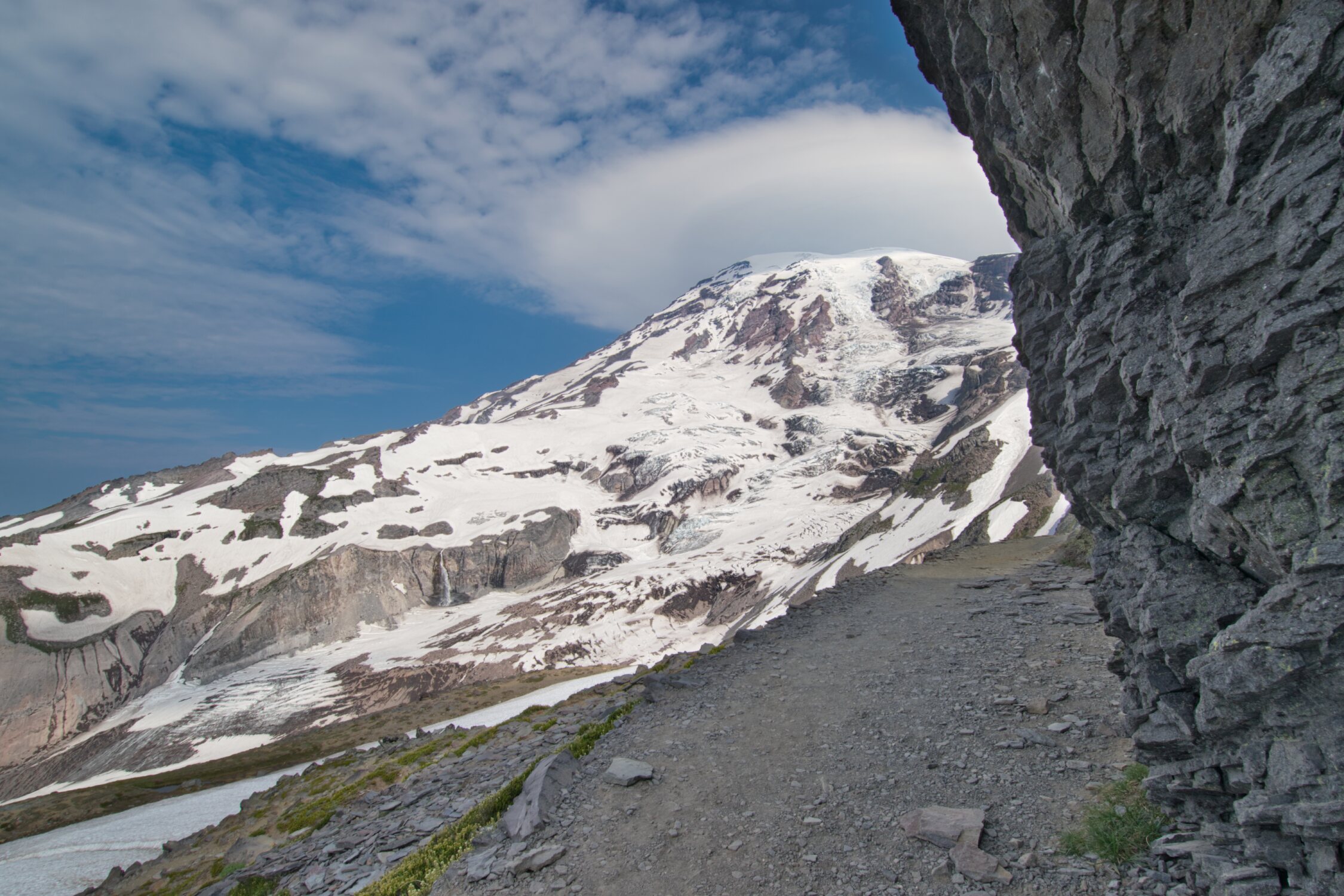
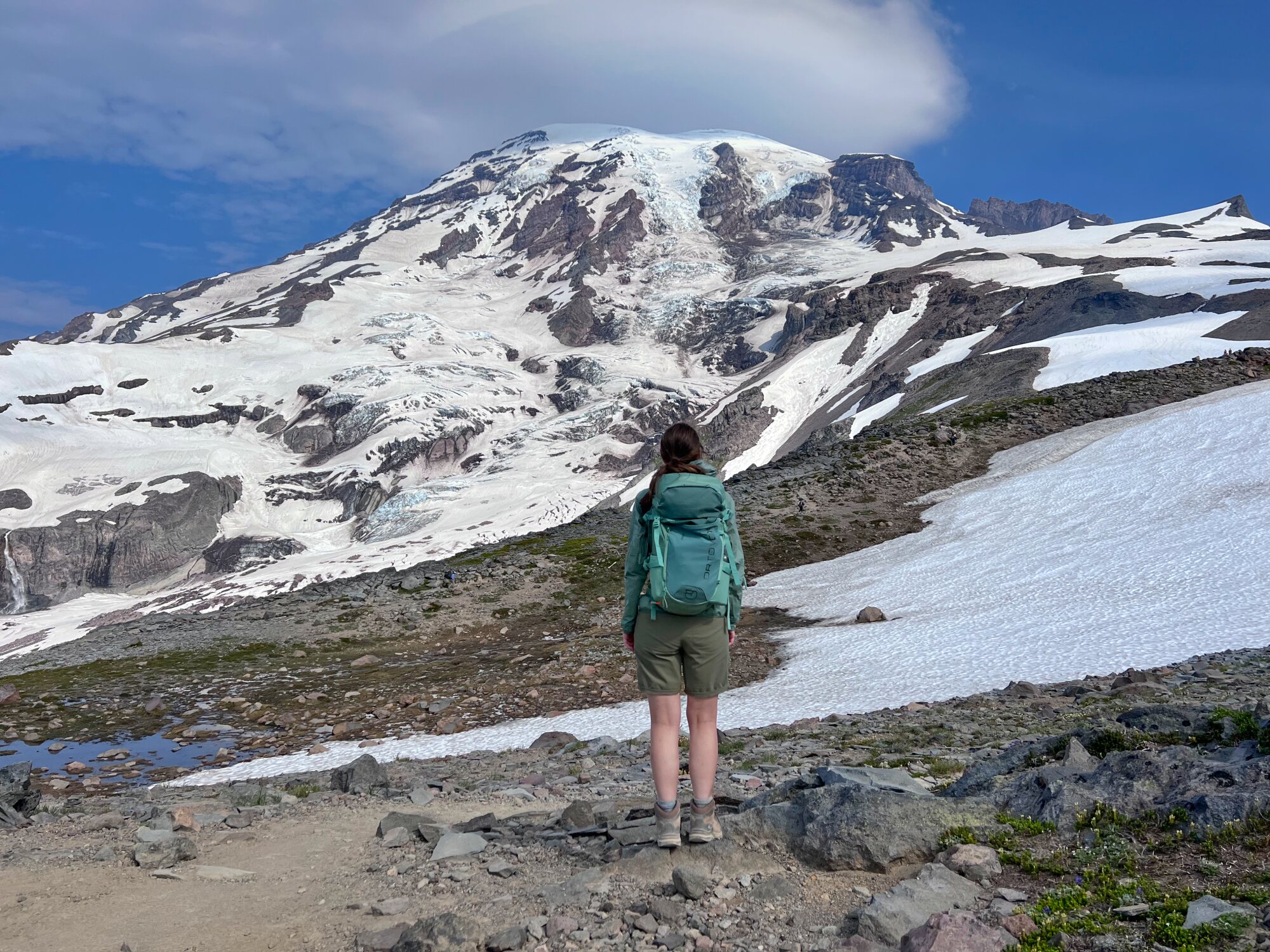
The Skyline Trail is the flagship hike on the south side of Mount Rainier National Park and impresses with its diversity and fantastic views of Mount Rainier. It can be hiked both clockwise and counterclockwise. We start the hike clockwise, which is the better option from our point of view. The start and finish of the hike are conveniently located in front of the Paradise Inn.
The climb is steep from the start, first on an asphalt path, then a few hundred meters on a natural trail. We have great views of the magnificent Mount Rainier and the numerous glaciers of the volcanic mountain all the way to the top. After a section through the forest, we reach more open meadows where lots of beautiful and colorful flowers bloomed after the snow has melted. While the views of the majestic Mount Rainier in front of us change constantly, the higher we climb, the more barren and rocky the landscape around us becomes. At Panorama Point, we even get a view of Mount St. Helen and Mount Adams, two other active volcanoes on the Pacific Ring of Fire, both located in Washington State. On a clear day, we can even see Mount Hood in Oregon. A little further, we reach the highest point of the hike from where we can see in the distance some climbers heading to the summit.
We start our descent. On this side of the hike, there may still be snow until August. Good equipment is therefore mandatory and caution is advised. It is highly recommended to check the current conditions at the Visitor Center beforehand. Shortly before the end of the hike, we pass the lovely Myrtle Falls, another highlight of this entertaining Mount Rainier tour.


Are you interested in this hike?
If you are interested in this hike, find our detailed description on outdooractive.